A wider point of view
The Benefits of Austin Drone Photography for Real Estate
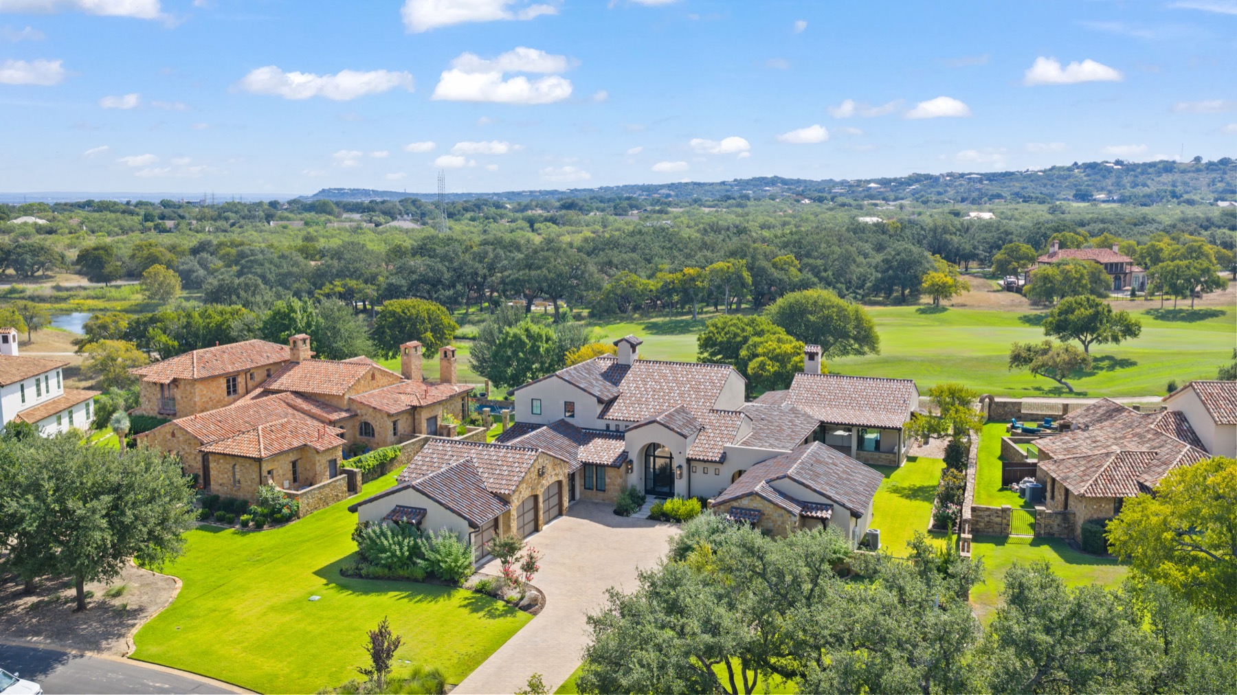
Aerial photography answers a question ground-level photos cannot: where does this property sit, and what surrounds it? A considered view from above gives buyers useful context before they arrive.
That context is especially valuable for Austin-area homes with acreage, water access, a dramatic landscape, or outdoor amenities. From the air, a buyer can see how the approach, home, grounds, and neighboring area relate to one another.
Show the setting, not just the roofline.
Make the land legible.
Aerial images can show the shape of a parcel, the relationship between buildings and open space, and features that are difficult to understand from the curb. For a large lot or rural property, that wider view can be as informative as an interior photograph.
Connect outdoor spaces to the home.
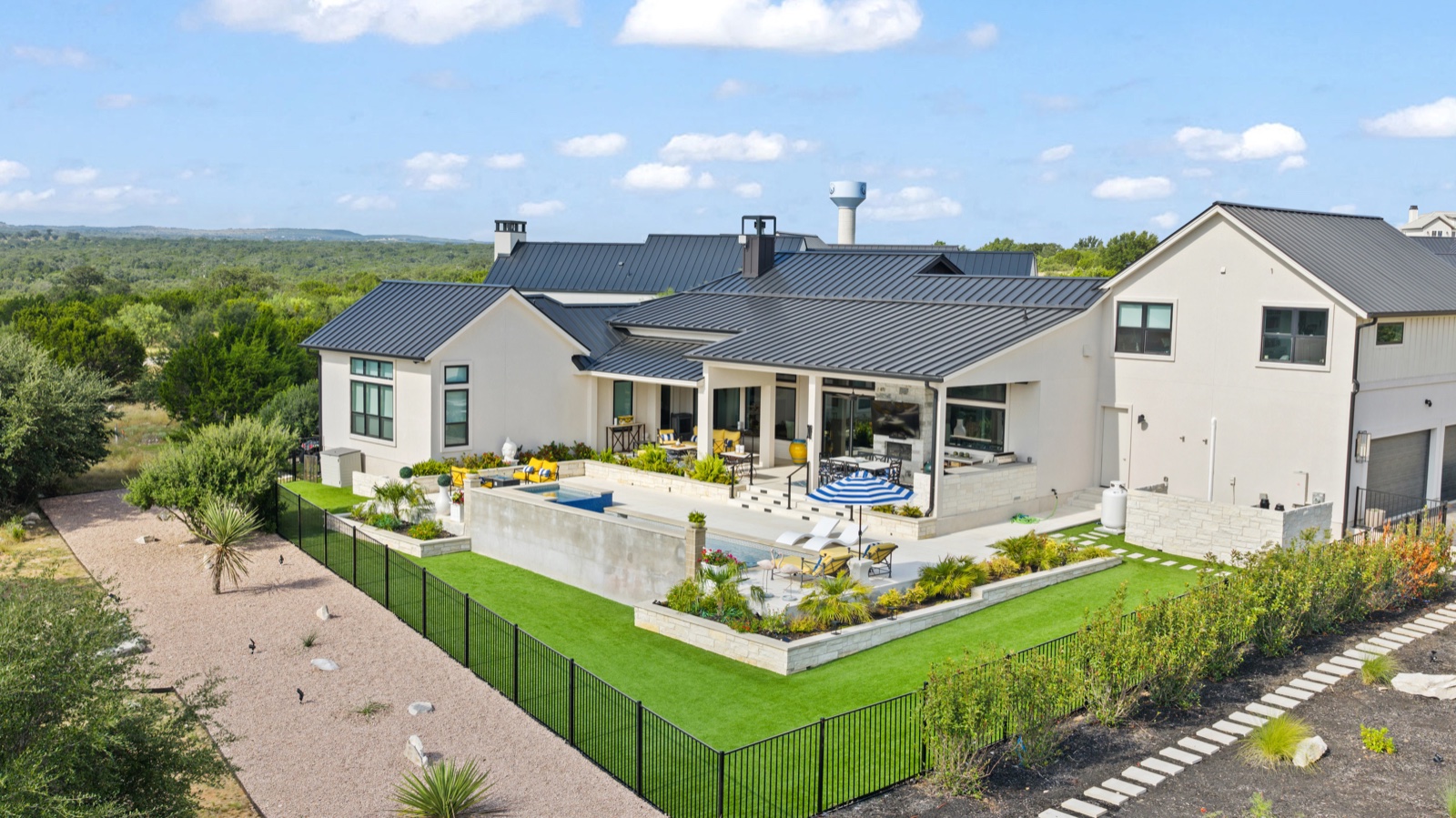
Courtyards, pools, terraces, and paths often make more sense when seen together. A thoughtful aerial angle can reveal the flow from the house into those spaces without exaggerating their scale.
Add neighborhood context.
When location is part of the property’s appeal, a broader frame can show nearby landscape and the character of the setting. We select the height and angle around what helps a viewer understand the property clearly.
A useful perspective
See what a curbside view
cannot show.
Our Austin drone photography complements close-up exterior and interior images. Together, they give buyers both the details and the larger picture.
Aerial imagery cannot promise a faster sale or a higher price. It can help a listing communicate its setting with greater clarity—and that is reason enough to use it when the property calls for it.
Two ways to see the setting.
Use the wider view to understand the land, then a closer angle to see how the home fits within it.
See the bigger picture
Give the listing
a wider view.
Show the home, its land, and what makes the setting worth seeing.