Room for a wider view
The Benefits of Austin Aerial Photography for Real Estate Marketing
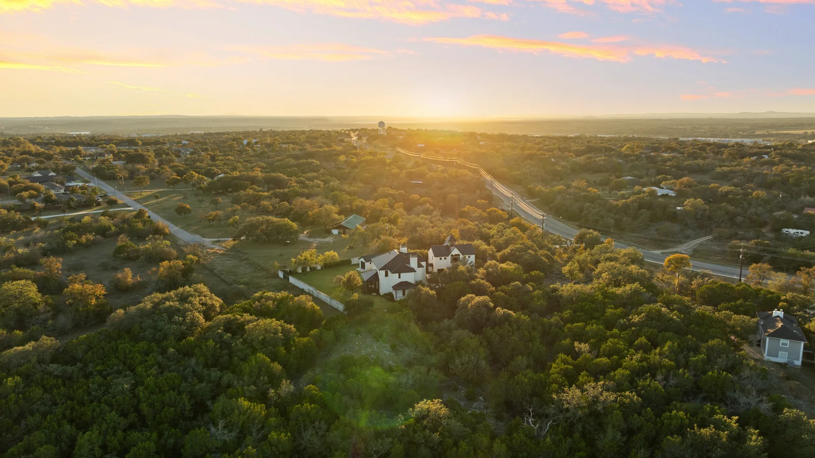
A wider view is useful when it answers a question the curbside photograph can’t.
For an Austin listing, that might be the relationship between the home and its outdoor spaces, the scale of a larger property, or the way a building sits along a street. Aerial photography brings those pieces into the same frame.
The benefit is context. A pool, garden, courtyard, or long approach can be difficult to understand from ground level alone. A thoughtfully chosen drone image connects those features to the property instead of presenting them as disconnected details.
Choose the angle for a reason.
Not every image needs to be taken from high above. A lower aerial angle can reveal the front elevation and landscaping together; a higher view can explain the setting. The right height depends on what the viewer needs to see.
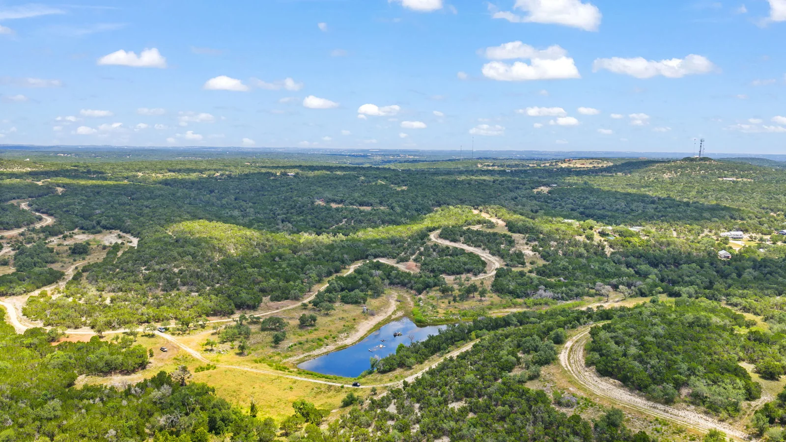
For a commercial property, access and surrounding development may be especially useful. For a home or ranch listing, the emphasis might be outdoor living, terrain, or open space. An aerial photograph is a visual overview, not a survey or a substitute for verified property boundaries.
Keep the whole gallery connected.
Pair the wider perspective with interior and exterior photography. Aerial images explain where the property is and how it is arranged; ground-level photographs bring people closer to the rooms, finishes, and everyday experience.
Start with the property’s strongest features and choose the coverage around them. The goal is a clearer introduction to the listing, not simply more pictures.
Perspective with purpose
Three reasons to look up.
Show the surroundings.
Give the viewer context for the property and the spaces around it.
Connect the features.
Show how pools, patios, gardens, and buildings relate to one another.
Explain the approach.
Make the arrival and relationship to nearby roads easier to understand.
Before you book
Know what the wider view includes.
The current Just Aerial photo package is $250 for 8–12 aerial photographs. It is a still-photo package, not a promise of a film or a particular number of commercial views. Commercial and unusually large property work should be scoped around the actual site and shot list.
The evening treatment is a separate choice: digital twilight conversion currently costs $35 per photo, purchased with a primary service. It changes the presentation of a daytime image; it is different from photographing the property on location near dusk. The add-on options explain both approaches.
Before the appointment, identify the outdoor living areas, landscaping, or water views that should be visible together and arrange access where needed. Typical photo delivery is 1–2 business days; confirm flight coverage, conditions, and the final schedule through booking.
See beyond the front door
Give the property a little more perspective.
Aerial photography shaped around what makes the setting worth seeing.