A different vantage point
Capturing Real Estate from Above: Austin Aerial Photography
A wider view can reveal the setting, scale, and connections that ground-level images miss.
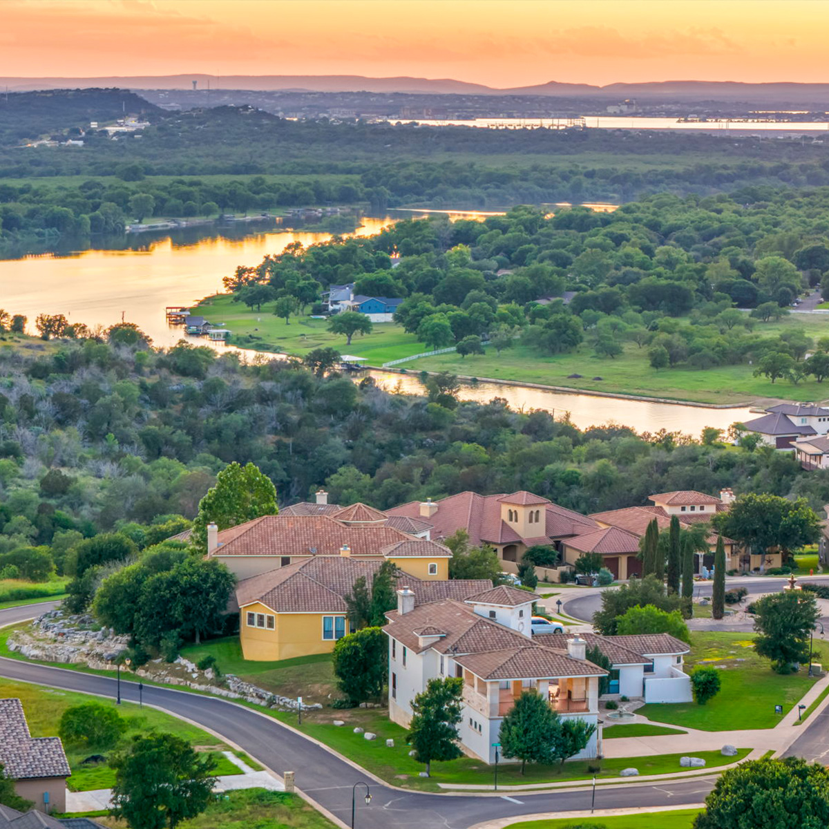
Some of the most useful details are easier to see from above.
Aerial photography can place a home in context: the shape of the lot, its relationship to outdoor living spaces, and the character of the surrounding landscape. It can also reveal rooflines and architectural patterns that are hard to read from the street.
The goal is not height for its own sake. A strong aerial frame should help a buyer understand something relevant about the property, then sit naturally alongside the interior and exterior images.
See the footprint.
Show how the home, grounds, and outdoor amenities fit together.
Find the context.
Give the surrounding landscape and nearby features a place in the story.
Read the form.
Capture rooflines, courtyards, and other elements from a fresh angle.
A second perspective
Let the landscape come into focus.
Aerial images work best as part of a considered set. Pair the wider establishing view with closer photos that bring the viewer back to the home.
Explore aerial photo and video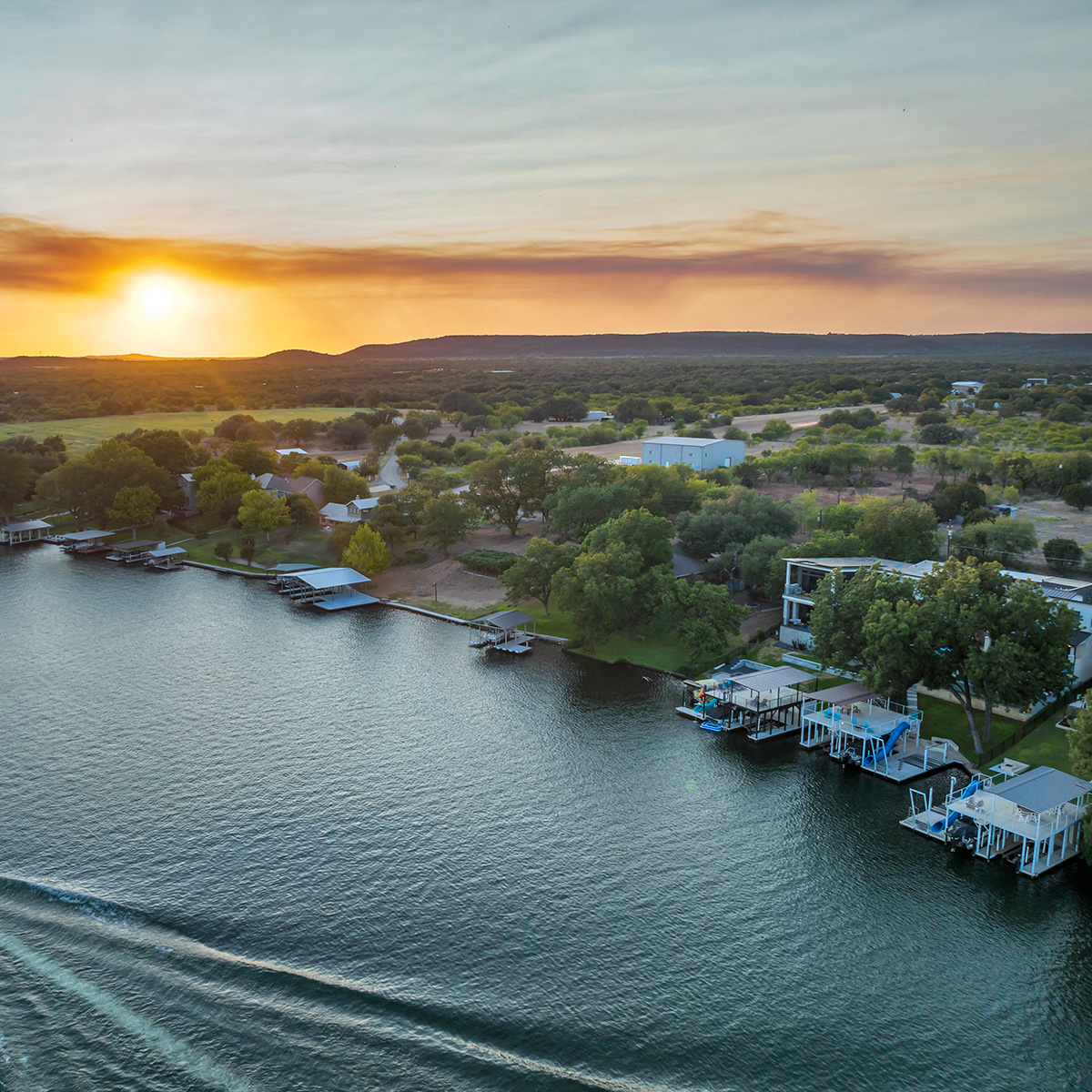
Before you book
Plan the wide views and the finishing options.
Rural surroundings, a distinctive roofline, and detailed landscaping may need different aerial angles. Share which features deserve a panoramic overview and which need a closer view, then let the capture plan adapt to safe access and conditions at the property.
The current Just Aerial package is $250 for 8–12 aerial photographs, with typical photo delivery in 1–2 business days. Commercial sites and larger custom assignments need a quote based on coverage.
Digital twilight conversion is available as a $35-per-photo add-on with a primary service. It edits a daytime image into an evening presentation, rather than capturing changing light on location. Discuss the best image and any custom aerial needs through the project brief, or review current pricing.
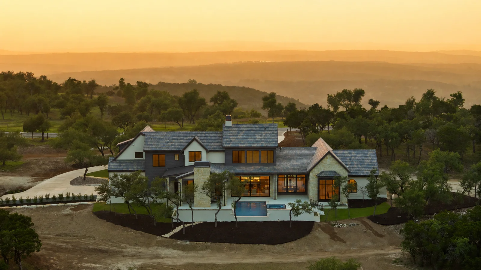
See the bigger picture
Give the listing room to breathe.
We can help decide which aerial views add the most useful context.